
-
-
Chestnut Hill Reservoir
The Chestnut Hill Reservoir was constructed between 1866 and 1870. 212 acres were purchased from local landowners to build the reservoir. 58 acres came from the estate of the textile manufacturer Amos Adams Lawrence whose estate stood on the heights where Boston College was constructed. The Lawrence Basin was named after Mr Lawrence and was phased out of use after the construction of the Quabbin Reservoir. It was sold to Boston College and filled around 1950. It is now the site of the BC Football Stadium and dorms. The Bradlee Basin was over twice as large as the Lawrence Basin and was named for Nathaniel J. Bradlee, the Cochituate Water Board president at the time.
The 80 ft-wide, winding drive afforded views of the water and surrounding grounds, and was a popular destination for pleasure drives. Contemporary guides noted the tree-covered hills and flowering shrubs along the reservoir banks, referring to the reservoir as a "great pleasure resort" and to the drive as "the most popular drive in the city." The drive survives, at least in part, as the present-day Chestnut Hill Driveway, which runs along the north side of the reservoir.
For more information on the history of the Reservoir, click on the following link
http://www.bahistory.org/HistoryWaterForBoston.html

1885 Map of the Reservoir

Bradlee Basin is on the top of the photo, Lawrence Basin in the middle and Boston College at the bottom

Bradlee Basin Map

Near Chestnut Hill Driveway

Near Commonwealth Ave

Notice the large homes on Commonwealth Ave
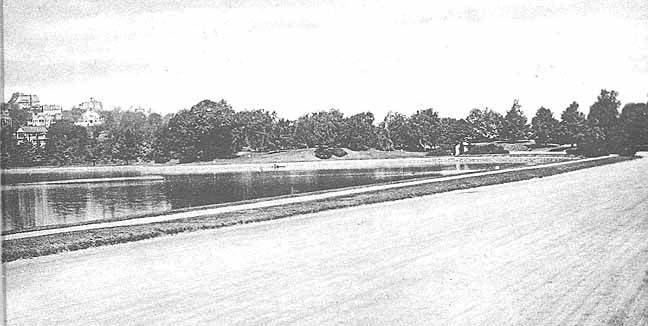
St Thomas More Rd (the road
between the two Basins) with the Lawrence basin on the
left with Commonwealth Ave homes also on the left.
The Evergreen Cemetery would be on the right. The St
Ignatius Church location would be near the center of the
photo.
![]()
Near Beacon St

Near Beacon St

Low Service Pump Station Construction

High Service Pump Station 1890

High Service Pump Station
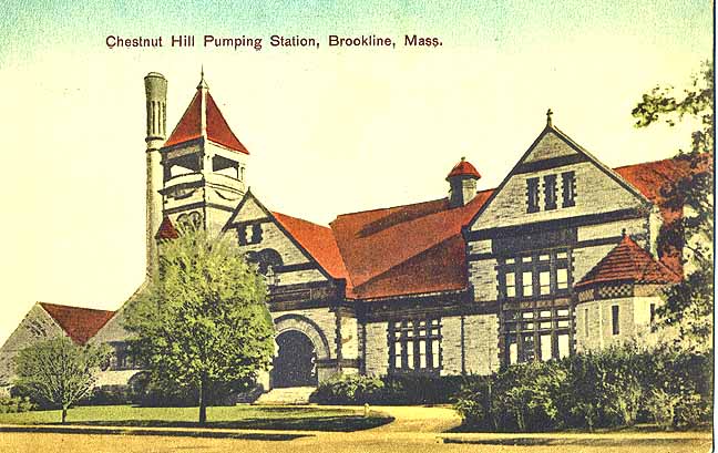
High Service Pump Station

Low Service Pump Station


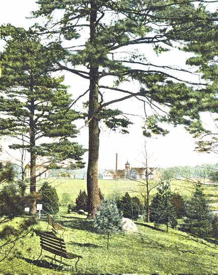
Lawrence Basin

Lawrence Basin with St John's Seminary in the distance
![]()
Beacon St and Thomas More Rd (center) with the Lawrence
Basin on the
right and Bradlee Basin on the left. Chestnut Hill
Driveway is in the foreground with the Horse
and carriage.

Near Thomas More Rd
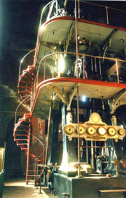
Interior of pumping station

Probably at the intersection of the Chestnut Hill Driveway and Thomas More Rd

From Chestnut Hill Driveway

Chestnut Hill Reservoir Gateway erected in 1870 at the intersection of Chestnut Hill Ave and the entrance to the Chestnut Hill Driveway. It was removed in 1895 when Commonwealth Ave was extended into Newton
